Contact MetroWest The metrowest.com domain is for sale. Details here.
Tower Rental Site at Hopkinton,
MA
|
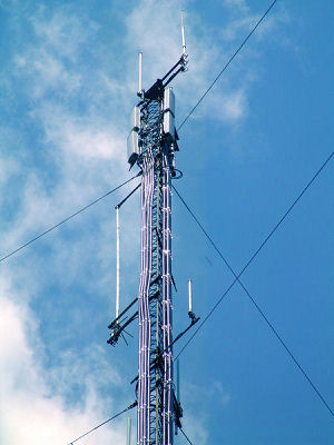
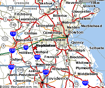
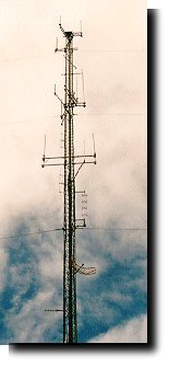
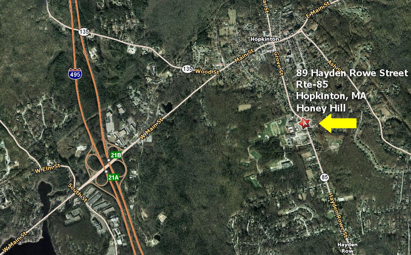
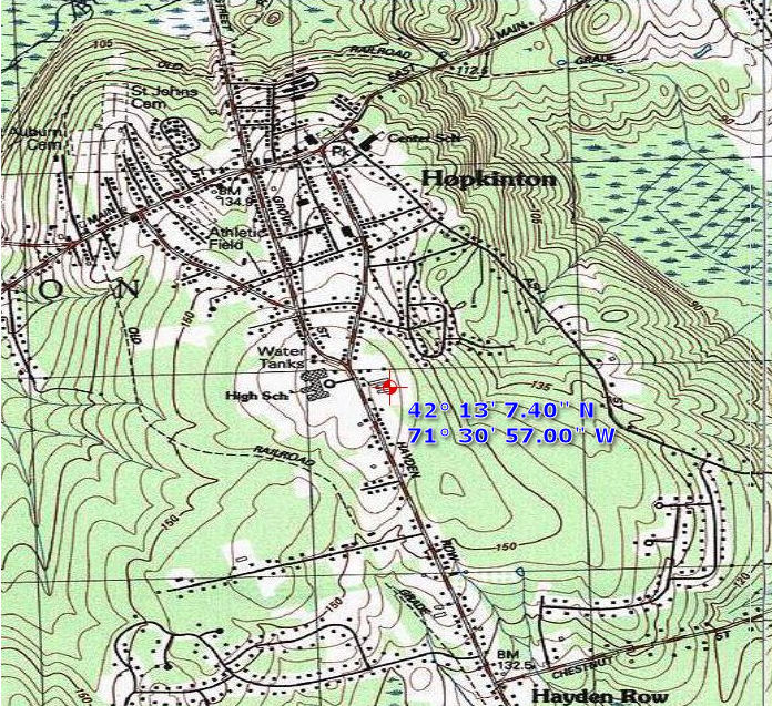
Honey Hill Tower Hopkinton, MA Honey Hill is located in Hopkinton, Massachusetts which is 25 miles west of Boston and one mile south of the starting line of the Boston Marathon. Honey Hill is the location of the headwaters of the Charles River and is also the highest elevation agricultural property in Middlesex County. For decades, much of the Boston Marathon official communications has been facilitated through this tower. Communications were originally operated on the MetroWest-owned UHF repeater systems and later on carrier-owned systems. In commercial operation to these specs since the late 80's, the tower is available on a rental basis to carriers, two-way radio dealers, wireless ISPs, end-users, paging and repeater companies. Due to the fact that the tower was designed for multi-user operation since it's inception, antenna multicouplers and combiners can be provided for many users (pictures below).
Existing data and voice tower tenants:
Ham radio: special public service project
Coverage:
|
 |
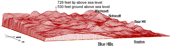
Honey Hill Actual computer terrain
model |
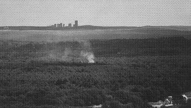
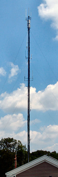
The view from the 140-ft
level looking east towards Boston
with some smoke viewable in Ashland. Note the house at ground level.
This picture was obviously taken on a clear day using a telephoto lens,
but the line-of-site path is genuine.
![]()
 |
|
![]()
Combiner System:
These antenna combiner systems grant multiple tenants access to the best antenna locations on the tower by sharing antennas. In addition, the potential of interference is greatly minimized while eliminating the added structural stresses of multiple antennas. This capability was designed into the system from day-1. |
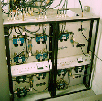 |
450 MHz Telewave antenna combiner system |
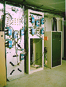 |
800 and 900 MHz Telewave antenna combiner system |
![]()
![]()
"hopkinton
-atsign- metrowestsystems.com"
![]()
http://www.metrowestsystems.com/mwtower.htm
Copyright © 2012 MetroWest Systems, Inc.